Our Brands
A complete family of geospatial hardware and software
GeoCue offers a full family of geospatial brands providing industrial grade LiDAR or photogrammetry software and sensors, as well as complete software and data processing plans to transform your data into powerful 3D visuals.

Our Company
Leaders in LiDAR and photogrammetry
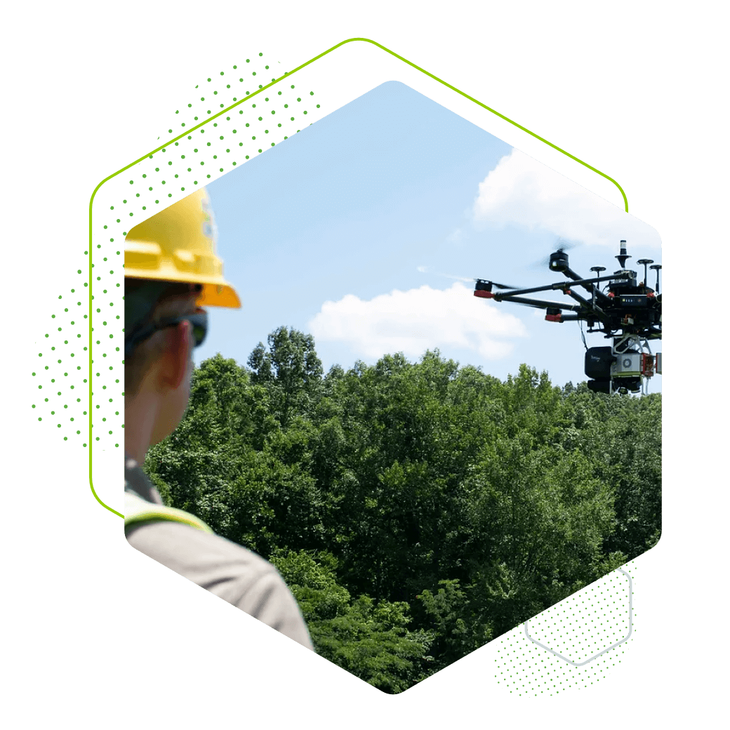
GeoCue is a LiDAR and photogrammetry data technology company offering software, hardware, training, support and consulting services for high accuracy drone mapping to help geospatial, civil engineering and surveying professionals across multiple industry verticals to achieve successful data collection, processing, and management.
Uniquely positioned to address the growing demand for digitalization of the industry

“GeoCue is a technology company that is ideally positioned to unlock the power of aerial surveying for a wide range of industry segments around the world. We bring decades of industrial experience in pioneering the nascent field of aerial surveying and digitalization, with the spirit and ingenuity of a start-up."
Vivien Hériard Dubreuil
Chief Executive Officer


